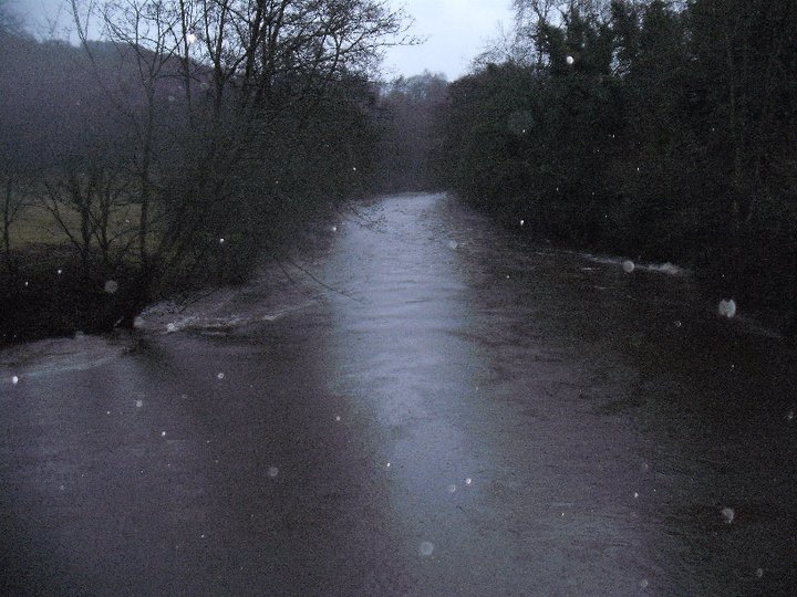
Starting at cromford park at the High Peak Junction car at Lea Bridge on Lea Road. Alternately Park at Arkwrights Mill in Cromford and walk along the canal to your left joining the walk at High peak Junction. From the car park there are two bridges over the river one into the water works and the other a small foot bridge at the left corner of the car park, take this path and follow it over the river and follow around to yourright and over the train line bridge bringing you on to the Tow path on the canal at High peak Junction with Arkwrights Mill up the canal to your right and the little engine station and gift shop over the canal in front of you.
Turn left and walk along the tow path walking towards the old Pumping station at the pumping station this is were they would pump water up from the river below and maintain levels in the canal. In the summer the pumping house as open days and can be seen pumping water. Times are available from the gift shop at the engine house were you first joined the canal as well as walking maps and snacks. Continue along the canal until you get to a derelict house if you look inside the house it is surprising to note how low the roof beam would be and is also noticeable in the height of the doors. A very quaint cottage but not no more. Cross back over the canal bridge here and walk back towards the engine station passing the storage shed that was used for unloading work materials of the barges for the stone quarrys, hence the huge post for hitching up barges too. When you get back to the engine room and gift shop it is well worth a look around as there is a small museum and two train carts from a bye gone era which are open for the public to look around and walk upon.
 |
| Cromford Pump House. |

From here walk up the side of the engine house and past the carriages and start to ascend the very steep incline, just after going through the tunnel you will notice a pit in the middle of the path this is a catch pit and was used to ctach runaway carriages as they brought heavy loads of stone from the quarrys. The incline was so steep that at the top is the remains of a steam engine house used for winching up the carriages.
 |
Engine House High Peak Junction. Half way up the hill is signs of early quarrying as you can seen were the rock as been chiseled back and the remains of an old wooden hoist used for loading the trucks are left behined. Continue up the hill until you reach the top at the winching house at High peak. Here there are great views to your right looking towards Matlock Bath, Heights of Abraham, High Tor and Riber castle can all be seen on a clear day.   At the side of the steam house to your left there is a small path up some steps this is the route you will return on later from the woods and moors. However continue to walk along the old train path all the way to the foot of Black Rocks. Here follow the path up to the summit on the right hand side of the rocks there are several different ways to scale this and is used regularly by climbers. As a guide the more you approach from the right hand side the easier it is with a path that goes round the side and onto the top without having to climb any rocks at all. To visit the National stone Centre and Middleton top instead of going up to black rocks just continue along the old train path past the Black Rocks car and first coming to the Stone centre which a form quarry that you can seen fossils of sea creatures in the actual rock the remains of a sea barrier reef, A layer of volanic ash that as settled in the rock billions of years ago and an Lead vein mine. To continue on the train path will bring you up another steep incline and you will arrive at middlelton top at another steam winching house however like Cromford pumping station this is a working monument and can be seen working at selected hours, their is also a small shop and bike hire facilities here.   From the top of black rocks you will follow the path to your left side of the rocks or to your right if you are stood looking over the edge. Follow the path up the small ramble path and up some steps to a gate , go through the gate and you are on open moor land but follow the distinctive path along the fence line of your right hand and follow this until you arrive at the communication tower and trig point at the very highest possible place. Looking from the trig point you can see Carsington waters in the back ground looking towards Ashbourne and Middleton top steam tower stack and the stone centre cafe in the fore ground. From the trig point their are two paths one straight on past the communication tower and through a visible gate and back to Wirksworth and Black Rocks and another to your left in to the woods and Cromford moors, take the path into the woods and follow the clear posted blue markers.    Walk through the woods following a distinctive path and following the blue posts. At the cross road of the white stone path turn to your right and after a short while take a smaller path to your left still following the blue posts. The path comes to the corner of a field with a farm gate and apath the other side but stay on the current path and follow it around too your left and now stick to this path going straight over at every cross path still following the clearly marked out blue post after a short incline you will descend down some steps and come back out on the disused train line at the steam winching house at the summit of the High Peak Junction. If you now the area it is possible to not follow the blue post and take the other paths bringing you out further down and in cromford or turn to your left and coming back out at the foot of blacks rocks again from where the climbers would set up their rigs. However the blue popst are simple and clear to follow.   The walk it self is about 5 mile and takes around 3 1/2 hours to walk not including the extension up to Middleton Top and the Stone Centre. If the walk is to be to big you can cut the stone centre out and when you get back to the car turn to your left and drive past Arkwrights Mill straight over at the traffic Lights up to the top of the Hill heading to Wirksworth and turn right to Middleton and the stone centre car park. Like wise you could park in the Black Rocks car park on your left at the top of Cromford Hill road B5036 and do small walk up over the rocks and back through the woods walking back to the car park along the disused train line instead of walking up and down the steep incline from Cromford. However what ever you do I personally would recommend a walk around the Stone Centre as the car park is free and so is the Centre with many things to see in a natural state including volcanic layers, Lagoons, Sea Reefs, Lead vein mines, Lime furnace and Fossils ( which in the old empty quarries you can find your self but not allowed to take home). All exposed by the Stone quarrying.     |